Geographic Information System (GIS) Services
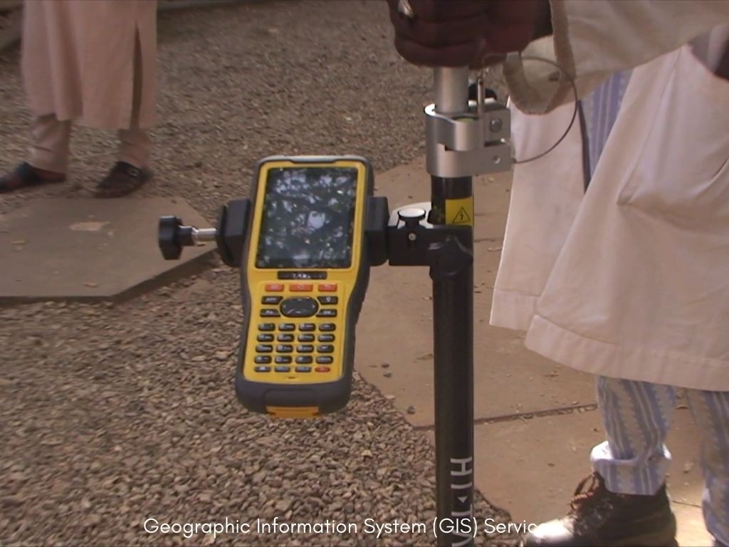
Geographic Information System (GIS) Services rely increasingly on digital spatial data, acquired from remotely sensed images, analyzed by GIS and visualized on the computer screen or paper.
Geographic Information System (GIS) Services rely increasingly on digital spatial data, acquired from remotely sensed images, analyzed by GIS and visualized on the computer screen or paper.